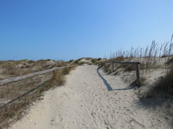
The 51 hectares of the Cà Roman Oasis are located in the southern part of the island of Pellestrina and are connected to it by an artificial dam called the "Murazzi." Thanks to this barrier, the morphology of the area has significantly changed: the sandy sediments carried by the marine current deposit here, causing the coastline to advance (11 meters in 4 years).
The vast lagoon around Venice is the witness of the delicate balance between man and nature in the eternal struggle of the sea strenght erosion with the constant steam's repetition. In this section you will discover the history of Venetian lagoon, get more information about navigation, visits and the many activities of Venice municipality to save and protect this fragile ecosistem with its flora and fauna.
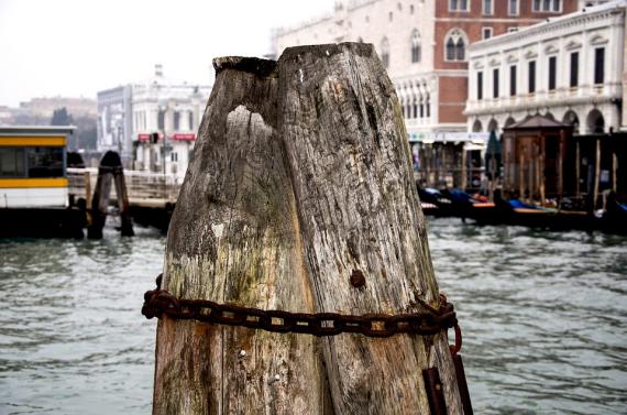
The "Paline" and "Bricole" (groups of three or more paline) are wooden poles planted in the lagoon bed. The former are used for mooring boats, while the latter have the essential task of marking the boundary between navigable channels and shallow waters. The regulations governing their use date back to 1493, and little has changed since then.
San Giuliano park is located in Mestre, near the bridge to Venice on a 700 hectares area overlooking the lagoon of Venice...
A trip to discover the small islands of the Venetian Lagoon, scattered jewels in a wide expanse of shallow water between the lagoon and the sea.
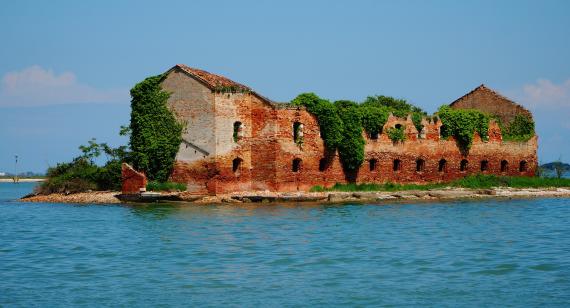
In the urban complexity of Venice, the numerous islands of the lagoon play a crucial role, surrounding the city and creating a kind of natural mosaic unmatched anywhere else in the world.
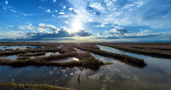
The Venetian Lagoon is the largest wetland in Italy, covering 55,000 hectares, which with the lagoons of Grado and Marano, is the last reminder of the great strip of lagoon and delta that once stretched from the mouths of the Timavo to Ravenna.